
File:Strijen 1867.png

預覽大小:703 × 599 像素。 其他解析度:282 × 240 像素 | 563 × 480 像素 | 901 × 768 像素 | 1,201 × 1,024 像素 | 1,599 × 1,363 像素。
原始檔案 (1,599 × 1,363 像素,檔案大小:289 KB,MIME 類型:image/png)
摘要
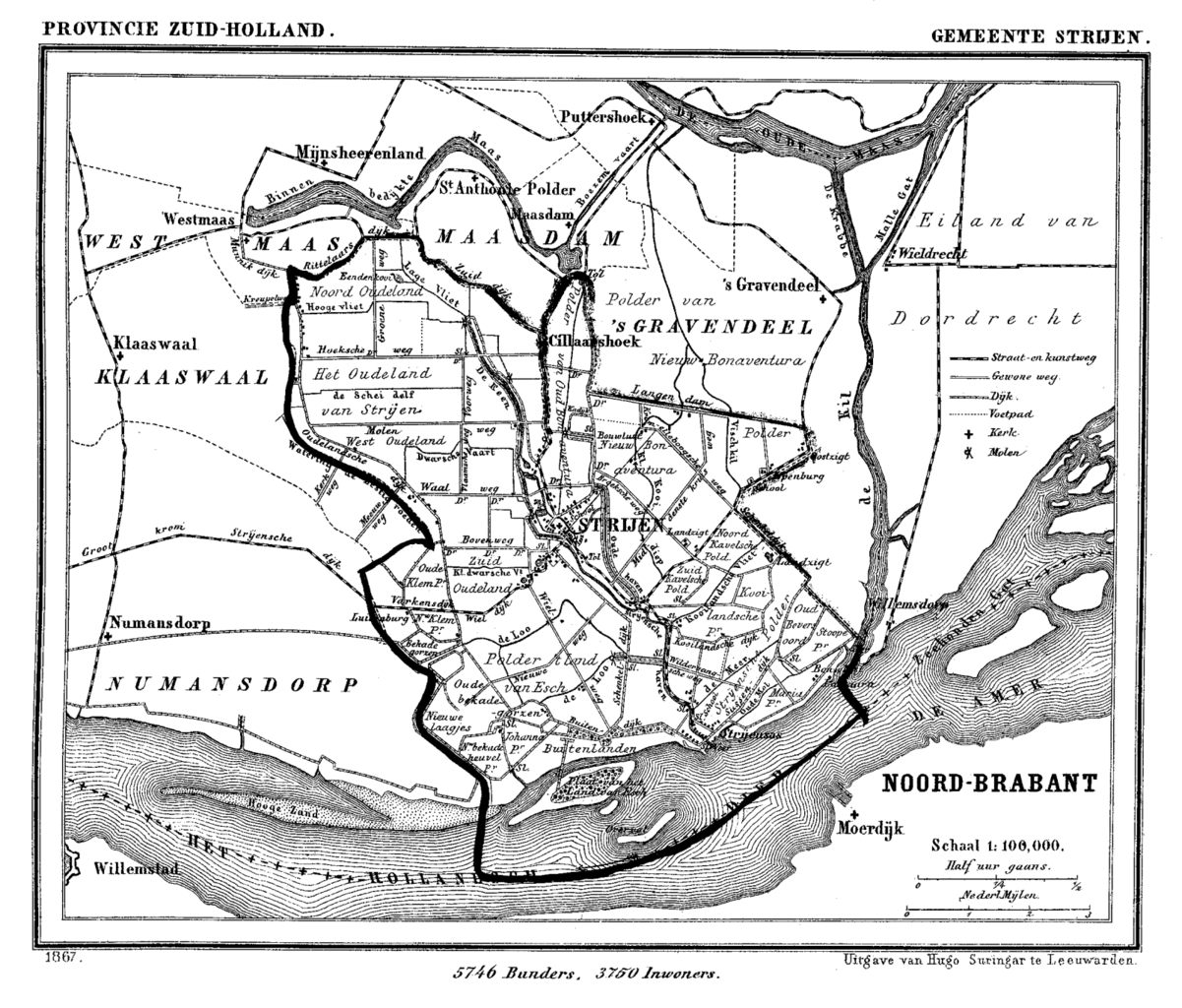
| 描述 | Historic map of Strijen, South Holland, the Netherlands |
| 日期 | 在1865年到1870年之間 |
| 來源 | Gemeente Atlas van Nederland (Municipal Atlas of the Netherlands) |
| 作者 | J. Kuyper |
授權條款
|
本作品在其來源國以及其他版權期限是作者逝世後70年或以下的國家與地區屬於公有領域。 | |
| 此作品無已知的著作權限制,亦不受所有相關和鄰接的權利限制。 | |
檔案歷史
點選日期/時間以檢視該時間的檔案版本。
| 日期/時間 | 縮圖 | 尺寸 | 用戶 | 備註 | |
|---|---|---|---|---|---|
| 目前 | 2007年7月11日 (三) 16:38 | | 1,599 × 1,363(289 KB) | P199 | {{Information |Description=Historic map of Strijen, South Holland, the Netherlands |Source=Gemeente Atlas van Nederland (Municipal Atlas of the Netherlands) |Date=1865-1870 |Author=J. Kuyper |Permission= |other_versions= }} == Licensing == {{PD-old}} [[ |
檔案用途
下列頁面有用到此檔案:
全域檔案使用狀況
以下其他 wiki 使用了這個檔案: