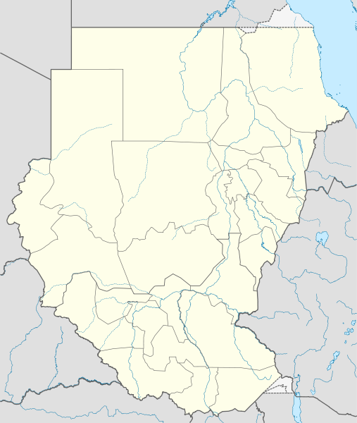
File:Sudan (2005-2011) location map.svg
外觀

此 SVG 檔案的 PNG 預覽的大小:507 × 600 像素。 其他解析度:203 × 240 像素 | 406 × 480 像素 | 649 × 768 像素 | 866 × 1,024 像素 | 1,732 × 2,048 像素 | 1,654 × 1,956 像素。
原始檔案 (SVG 檔案,表面大小:1,654 × 1,956 像素,檔案大小:564 KB)
檔案歷史
點選日期/時間以檢視該時間的檔案版本。
| 日期/時間 | 縮圖 | 尺寸 | 使用者 | 備註 | |
|---|---|---|---|---|---|
| 目前 | 2011年2月3日 (四) 11:00 |  | 1,654 × 1,956(564 KB) | NordNordWest | == {{int:filedesc}} == {{Information |Description= {{de|Positionskarte von Brunei}} Quadratische Plattkarte. Geographische Begrenzung der Karte: * N: 5.2° N * S: 3.9° N * W: 113.9° O * O: 115.5° O {{en|Location map of [[:en:Brunei|Brune |
檔案用途
下列2個頁面有用到此檔案:
全域檔案使用狀況
以下其他 wiki 使用了這個檔案:
- ar.wikipedia.org 的使用狀況
- bs.wikipedia.org 的使用狀況
- ca.wikipedia.org 的使用狀況
- ceb.wikipedia.org 的使用狀況
- de.wikipedia.org 的使用狀況
- el.wikipedia.org 的使用狀況
- en.wikipedia.org 的使用狀況
- 1957 African Cup of Nations
- 1970 African Cup of Nations
- 1971 Sudanese coup d'état
- 2011 African Nations Championship
- 2010 South Darfur clash
- Module:Location map/data/Sudan (2005-2011)/doc
- 1989 Sudanese coup d'état
- 1969 Sudanese coup d'état
- 1977 Sudan Juba coup attempt
- Module:Location map/data/Sudan (2005-2011)
- 1985 Sudanese coup d'état
- 1990 Sudanese coup attempt
- 1976 Sudanese coup attempt
- es.wikipedia.org 的使用狀況
- fa.wikipedia.org 的使用狀況
- fr.wikipedia.org 的使用狀況
- he.wikipedia.org 的使用狀況
- hy.wikipedia.org 的使用狀況
- id.wikipedia.org 的使用狀況
- kn.wikipedia.org 的使用狀況
- mk.wikipedia.org 的使用狀況
- pl.wikipedia.org 的使用狀況
- pl.wikibooks.org 的使用狀況
- ru.wikipedia.org 的使用狀況
- simple.wiktionary.org 的使用狀況
檢視此檔案的更多全域使用狀況。


