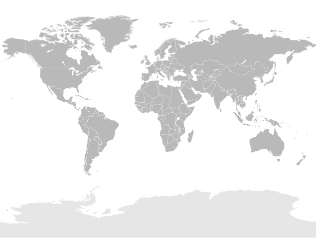
File:World map (Miller cylindrical projection, blank).svg
外观

此SVG文件的PNG预览的大小:634 × 477像素。 其他分辨率:319 × 240像素 | 638 × 480像素 | 1,021 × 768像素 | 1,280 × 963像素 | 2,560 × 1,926像素。
原始文件 (SVG文件,尺寸为634 × 477像素,文件大小:1.84 MB)
文件历史
点击某个日期/时间查看对应时刻的文件。
| 日期/时间 | 缩略图 | 大小 | 用户 | 备注 | |
|---|---|---|---|---|---|
| 当前 | 2021年9月2日 (四) 20:20 |  | 634 × 477(1.84 MB) | Allice Hunter | Adjusting |
| 2021年9月2日 (四) 20:05 |  | 634 × 477(1.84 MB) | Allice Hunter | Correcting Sudan and South Sudan | |
| 2019年3月13日 (三) 14:38 |  | 634 × 477(1.84 MB) | Goran tek-en | Updating Montenegro and/or South Sudan as requested by {{u|Maphobbyist}}. | |
| 2008年5月18日 (日) 01:36 |  | 634 × 477(1.84 MB) | Felipe Menegaz | {{User:João Felipe C.S/by}} {{Information |Description= {{en|Detailed SVG map with grouping enabled to connect all non-contiguous parts of a country's territory for easy colouring. Smaller countries can also be represented by larger circles to show thei |
文件用途
没有页面链接到本图像。
全域文件用途
以下其他wiki使用此文件:
- de.wikipedia.org上的用途
- en.wikipedia.org上的用途
- fr.wikipedia.org上的用途


