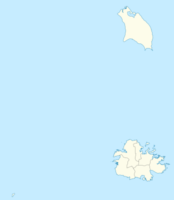
模板:Location map Antigua and Barbuda
外觀
| 名稱 | 安地卡及巴布達 | |||
|---|---|---|---|---|
| 邊界坐標 | ||||
| 17.755 | ||||
| -62.4 | ←↕→ | -61.639 | ||
| 16.919 | ||||
| 地圖中心 | 17°20′13″N 62°01′10″W / 17.337°N 62.0195°W | |||
| x | ({{{3}}}+62.4)*131.40604467806 | |||
| y | ({{{2}}}-17.755)*-119.61722488038 | |||
| 圖像 | Antigua and Barbuda location map.svg | |||

| ||||
